Why Protect Wetlands?
What are Wetlands?
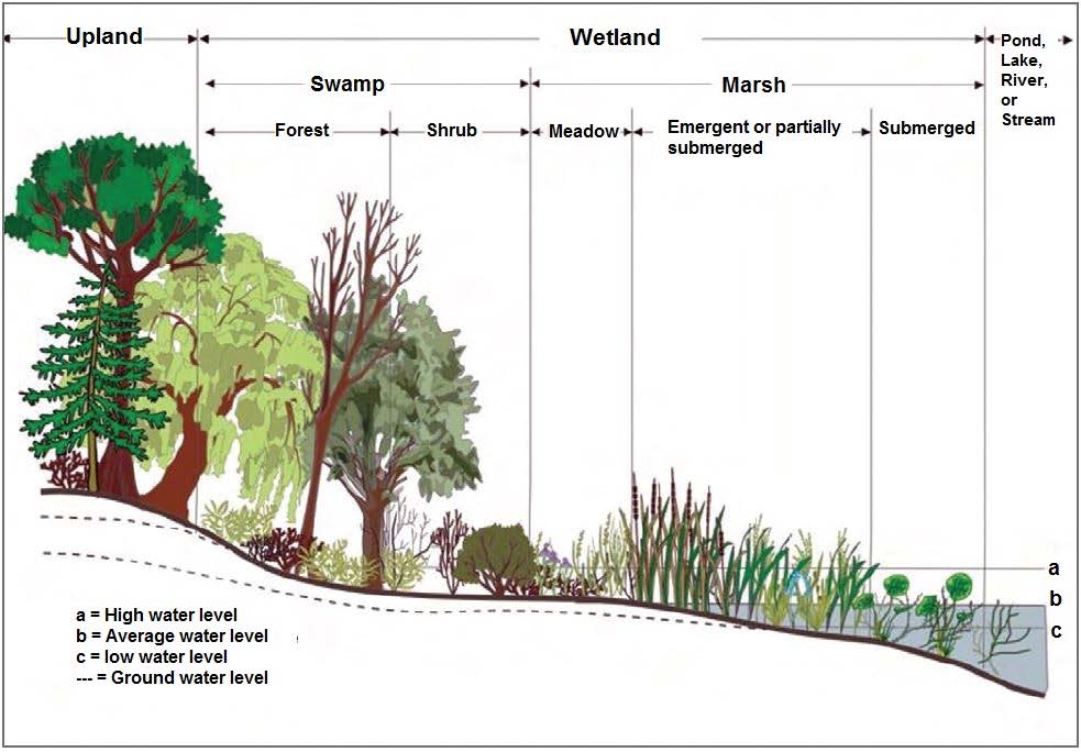
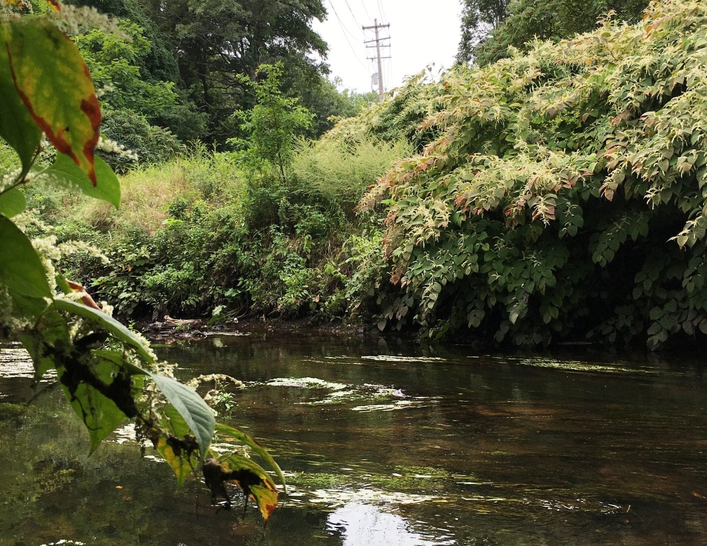
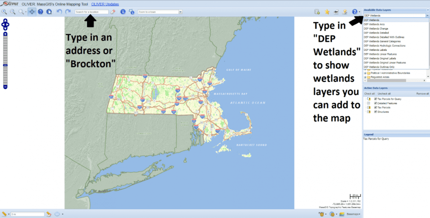
Wetlands are land areas that contain surface water all or part of the time. The main types of wetlands are called Bordering Vegetated Wetlands, which includes marshes, swamps, bogs, and fens. The land under rivers, streams, lakes, and ponds themselves are also considered wetlands.
Although many wetland areas occur in and around permanent bodies of water, some wetlands, such as vernal pools and wooded swamps, are only wet during certain times of the year.
Where are the Wetlands in Brockton?
Brockton has wetlands in and around its ponds and along its rivers and streams. There are also wetlands in isolated areas that still flood at certain times of the year.
Some wetlands are found in the City’s Conservation Areas, but the properties of some homeowners and businesses contain wetland areas as well. (Please note that Conservation Areas are properties deeded to City for the specific purpose of conservation; the presence of wetlands on a property does not mean a property is a Conservation Area).
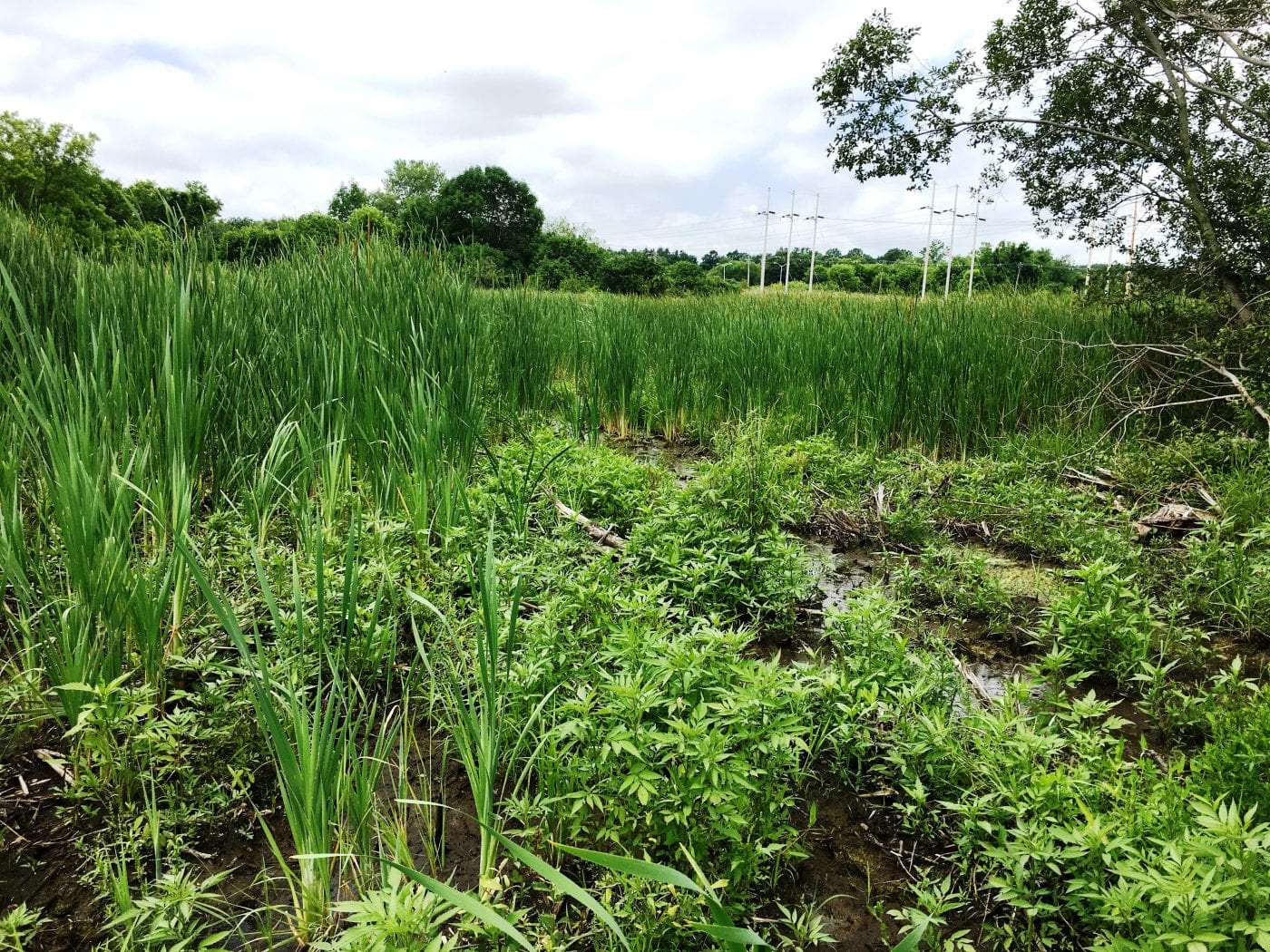
Wetland areas are not always large or picturesque, but they still perform valuable functions.
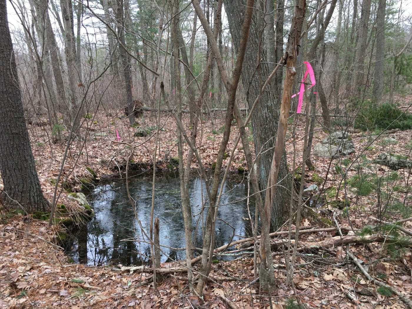
You can explore a map of approximate wetlands locations using MassGIS’s Online Mapping Tool, MassMapper. To find the wetlands maps in this tool, first type in a street address into the “Search for a location” bar at the top of the screen to find your property. Then click on the “Search data layers” bar in the top right and type “DEP Wetlands” to show the list of wetlands layers that you can add to the map as Active Data Layers.
Please note that the MassDEP wetland maps were drawn based on aerial imagery - they only estimate the boundaries of wetlands and do not show all wetland areas. These maps should be used for informational purposes only. Actual wetland boundaries on or near your property must be located and marked in the field by a botanist or wetland scientist prior to any work.
Why are Wetlands Important?
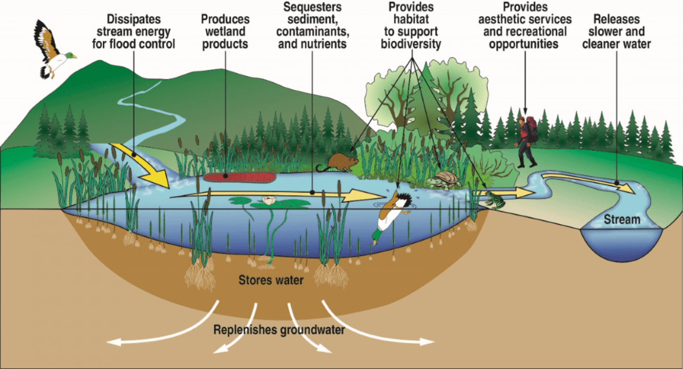
Wetlands act like natural sponges that store and slowly release water, which replenishes the groundwater supply and provides erosion and floodwater control. Wetland plants and soils filter pollutants from the water as it passes through. Wetlands also provide valuable wildlife habitat and support commercial fishing and recreation opportunities. Protecting these wetland values can help save money on air filtration, water treatment, and flood protection costs.
How are Wetlands Threatened?
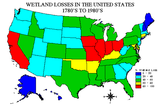
The U.S. has lost approximately half of its original wetlands area due to the urban and agricultural development that followed European settlement in the 1600s. Wetlands loss and degradation continues today and further decreases the ability of wetlands to function.
- Filling, draining, dredging, and paving reduces wetland areas and limits their floodwater storage potential.
- Pollution from sediment, fertilizers, pesticides, sewage, and heavy metals can overwhelm the filtration capacities of wetlands.
- Removal of trees and plants, animal grazing, and introduction of invasive species disrupt wetland communities.
Wetland Regulations
What Laws Protect Wetlands?
The Massachusetts Wetlands Protection Act (General Laws Chapter 131, §40; the Act) protects important water-related lands, such as wetlands, floodplains, and riverfront areas from destruction or alteration. These important lands are called “wetland resource areas.”
Regulations for the Act (310 CMR 10.00), and related guidance and policy documents, are issued by the Massachusetts Department of Environmental Protection (MA DEP).
Brockton does not currently have a local wetlands ordinance.
What Areas are Protected?
The Wetland Protection Act protects Wetland Resource Areas.
The most commonly regulated Wetland Resource Areas are Bordering Vegetated Wetlands (BVWs), which are wetlands that share a border with a river, stream, pond, or lake. BVWs are identified by the presence of abundant wetland plants, by hydrology (water levels and movement), and/or by soil characteristics. Typical BVWs in Brockton are wooded swamps (forested wetlands with trees and shrubs) and marshes (wet meadows with grasses).
The Act also covers Bordering Land Subject to Flooding (the 100-year floodplain / FEMA Flood Zones A and AE), large areas of Isolated Land Subject to Flooding, Vernal Pools, Banks of waterways and water bodies, Land under Water, and Riverfront Area (land within 25 feet of rivers and streams that flow year round). You can find technical definitions of these terms in the Act and its accompanying Regulations.
The Act also regulates work in the Buffer Zone, which is the area of land within 100 feet of BVWs and banks. Activities in a Buffer Zone could have an impact on the nearby wetland, depending on the type and location of the work and the wetland, so even small projects in a Buffer Zone may still require review by the Conservation Commission and/or the Conservation Agent.
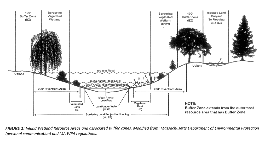
What Activities are Regulated?
The Act regulates activities that will “remove, fill, dredge, or alter” wetlands or their Buffer Zones.
Regulated activities include:
- Dumping leaves, brush, grass, or debris
- Cutting trees or shrubs, or removing groundcover plants
- Reconstructing or expanding lawns and backyards
- New buildings or additions
- New paving
- Installing a septic system
- Grading, excavating, or filling
- Changing storm water discharge
What to Do When Planning a Project?
- Determine if your project will possibly occur within a wetland or Buffer Zone. You can check this using MassGIS’s Online Mapping Tool, MassMapper, or contact the Conservation Agent for assistance. If your property or neighbor's property needed a permit from the Conservation Commission previously, then there are likely wetland resource areas nearby. Actual wetland boundaries must be located and marked in the field by a botanist or wetland scientist.
- Contact the Conservation Agent with questions to determine if a permit is needed for your project. You may need to arrange a site visit with the Agent. Depending on the type, size, and location of the project, you may be asked to file a permit application.
- If required, complete the appropriate permit application, which can be found on the Applications & Forms section. You are responsible for hiring any professionals needed to help prepare your application (e.g. Professional Wetland Scientist, Professional Land Surveyor).
- Attend a public hearing at a Conservation Commission meeting.
- Get approval before starting work.
Applications & Forms
Activities that will alter or disturb land or vegetation within a Wetlands Resource Area require a permit from the Conservation Commission. Activities within the 100-foot Buffer Zone to Bordering Vegetated Wetlands and/or Banks to streams and rivers may also require a permit or determination from the Commission.
The list below describes the type of application you may need to submit to the Conservation Commission for work within a Wetland Resource Area or Buffer Zone.
Please follow the links for each type of application to read further instructions from MassDEP and access the application Forms.
- Notice of Intent - This application must be filed when proposed activities will either alter or disturb a Wetland Resource Area or more than 1000 square feet of a Buffer Zone. Abutters must be notified when submitting a Notice of Intent application to the Commission. This application also requires submission of civil site plans from a Professional Engineer and/or Professional Land Surveyor. Approved projects will receive a permit document called an Order of Conditions, which includes all requirements for the approval.
- Abbreviated Notice of Intent - This is a simplified Notice of Intent application that may be filed for projects that will alter less than 1000 square feet of Buffer Zone and/or Land Subject to Flooding or less than 1,000 square feet of Riverfront Area.
- Request for Determination of Applicability - This application is a formal request for the Commission to determine whether a project requires filing a Notice of Intent under the Wetlands Protection Act. An RDA may be filed for small projects in the Buffer Zone if the applicant believes the proposed activities will not have an impact on a Wetland Resource Area. An RDA filing is also appropriate for projects such as a new accessory structure (e.g. shed or pool) within an existing lawn area. An RDA may also be filed for larger projects when there are wetlands on or near your property, but your proposed project is at least 100 feet from a Bordering Vegetated Wetland or Bank and outside of any Bordering Land Subject to Flooding (100-year floodplain). The Commission recommends that a surveyed site plan be provided showing the location of the proposed work relative to any Wetland Resource Areas.
- Abbreviated Notice of Resource Area Delineation - This application may be filed when an applicant wants to confirm the boundaries of Wetland Resource Areas before designing a project. An ANRAD application is often filed for large plots of land with large wetland areas, so that the property owner can determine if a large project is feasible. The Wetland Resource Areas in question will need to flagged in the field by a wetland professional and shown on a surveyed site plan. Abutters must be notified when submitting an ANRAD application.
- Request for Certificate of Compliance - if you (or a previous owner) filed a Notice of Intent and received an Order of Conditions permit for a project on your property, then you must apply for a Certificate of Compliance when the work is complete to close out the permit.
Please see our Filing Information & Regulations for additional instructions on how to submit your application to the Conservation Commission and how to notify abutters.
Please contact the Conservation Agent if you have questions about submitting an application.
Conservation Areas
The Brockton Conservation Commission and the Wildlands Trust group manage several Conservation Areas in Brockton. These Conservation Areas play a vital role in preserving the City’s remaining wetland resources, and some offer passive recreational opportunities as well.
Conservation Areas are properties deeded to the City for the specific purpose of conservation and natural resource preservation.
Conservation Areas may contain wetlands; however, not all wetland areas in Brockton are Conservation Areas. Many privately-owned parcels also contain wetlands subject to protection under the Wetlands Protection Act.
Brockton Audubon Preserve (Pleasant Street and West Elm Street Ext)
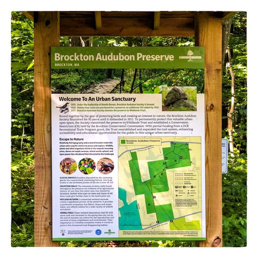
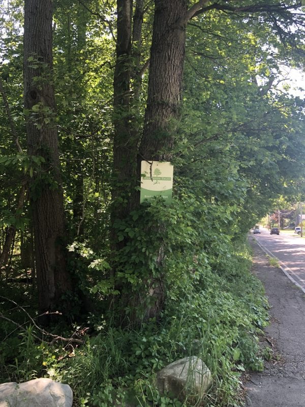
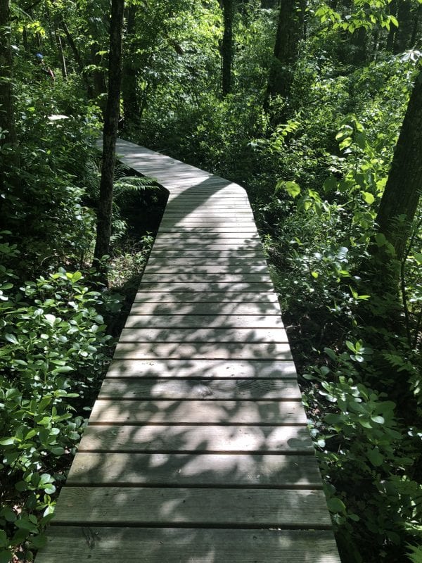
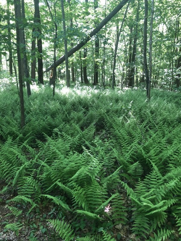
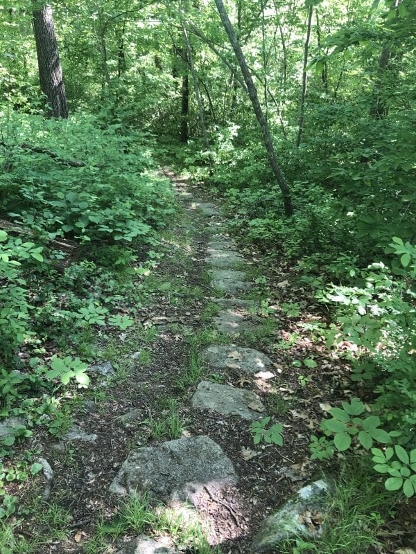
The Brockton Audubon Preserve is located between Pleasant Street and West Elm Street Ext on the west side of Brockton. The Preserve contains multiple forested wetland areas connected by streams. The Preserve is also home to two vernal pools certified by the Natural Heritage & Endangered Species Program.
The northeast portion of the Preserve, behind the Hancock School property, features a 20-foot high glacial erratic—a large boulder deposited by a retreating glacier over 10,000 years ago.
In 2012, Wildlands Trust acquired this 125-acre preserve from the Brockton Audubon Society and rehabilitated 1.5 miles of trails and boardwalks. A small gravel parking area is located off of Pleasant St.
Stone Farm (Pearl Street, Torrey Street, and West Elm Street Ext)
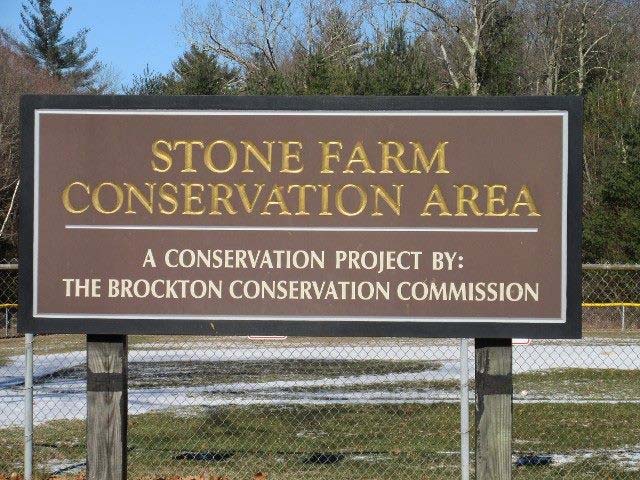
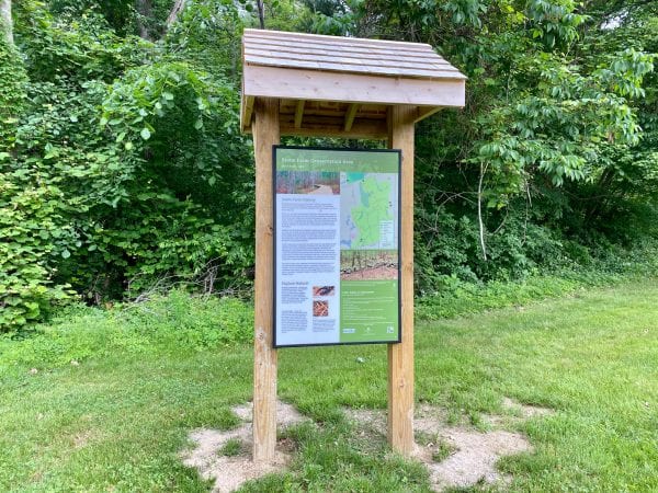
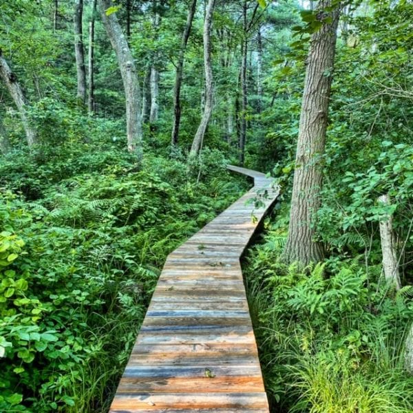
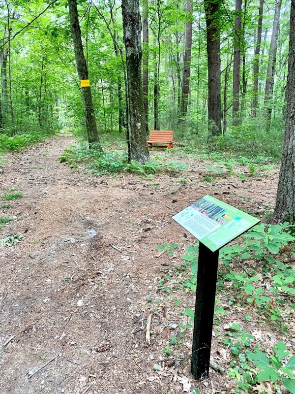
Stone Farm is a 104-acre conservation area between Pearl Street, Torrey Street, and West Elm Street Ext on the west side of Brockton. This area is home to several forested wetland areas and hydrological connections to Bigney Pond, as well as two vernal pools certified by the Natural Heritage & Endangered Species Program.
Stone Farm, along with the Brockton Audubon Preserve and the Dorchester Brook Wildlife Management Area in Easton, forms an important 300-acre wildlife corridor for both terrestrial animals and birds.
In 2018, Wildlands Trust reestablished 2.5 miles of hiking trails at Stone Farm and installed new boardwalks and trail signage.
Limited parking is currently available off of Torrey St, next to the baseball field.
Beaver Brook Conservation Area (East Ashland Street)
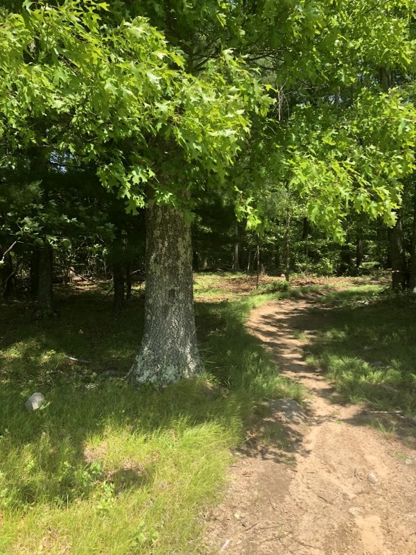
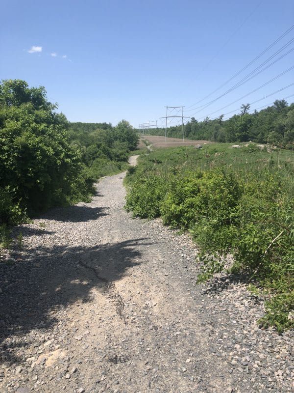
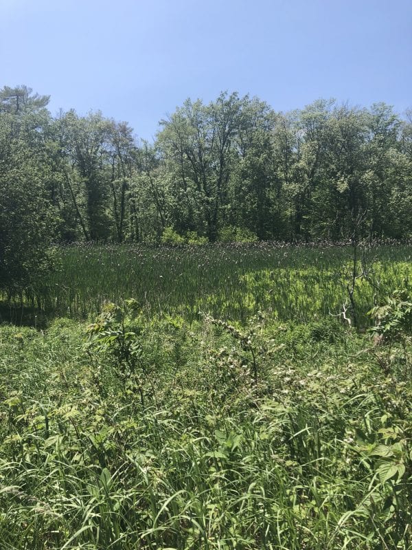
At 253 acres in size, the Beaver Brook Conservation Area preserves a variety of wetland resources associated with Beaver Brook, including wooded swamp (forested wetlands), marsh (wet meadow), and floodplain.
Beaver Brook Conservation Area connects to Abington’s Ames Nowell State Park, which features several miles of trails along Cleveland Pond.
Brookfield Nature Area (North Quincy Street, Wedgewood Road, and Raintree Drive)
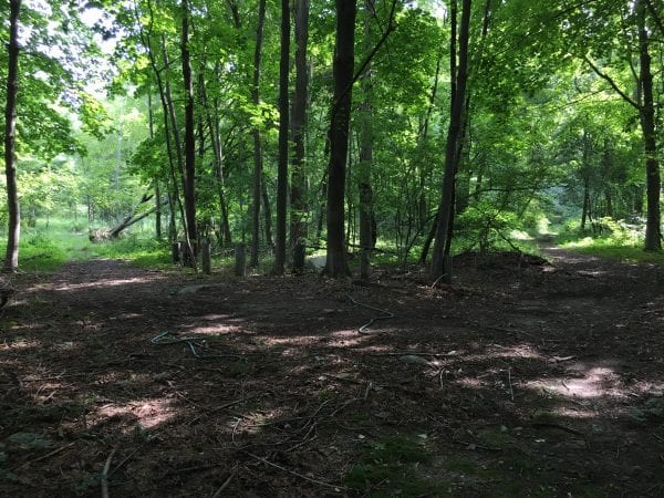
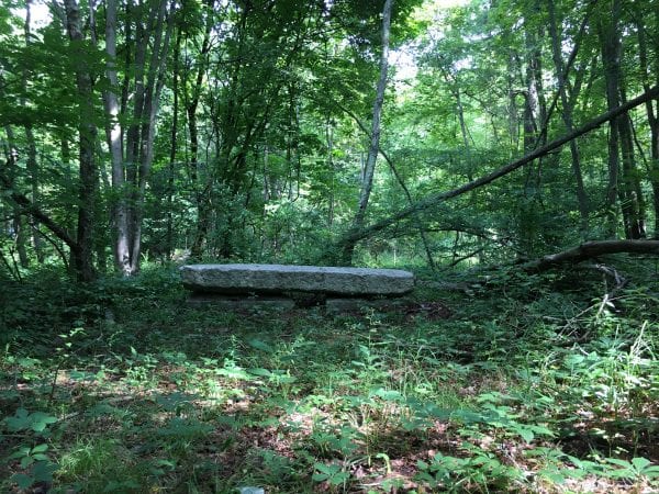
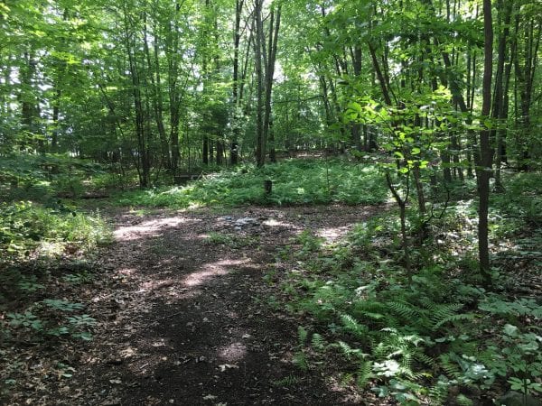
Located just west of the Beaver Brook Conservation Area, this 47-acre conservation area provides further protection of forested wetlands and hydrological connections to Beaver Brook.
This Conservation Area contains an old system of cart paths and utility easements, but these paths are not currently maintained.
Washburn Meadow (Quincy Street and Centre Street)
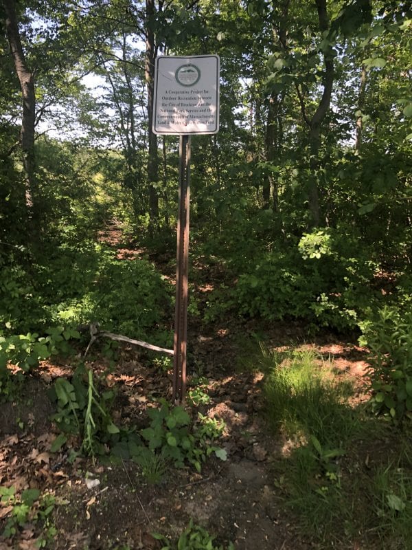
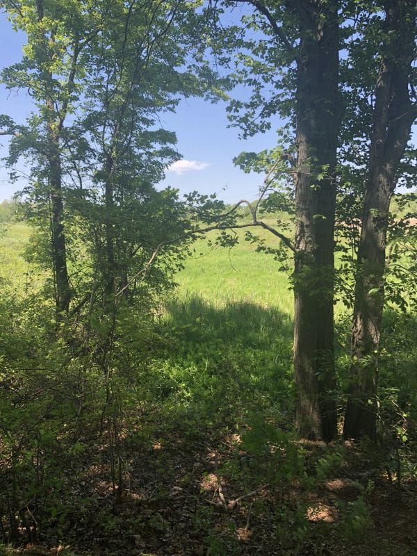
The 71 acres of the Washburn Meadow Conservation Area preserve a significant proportion of Brockton’s marshes (wet meadows) and floodplain associated with Beaver Brook. Washburn Meadow, along with Beaver Brook Conservation Area, is therefore an important source of the City’s natural flood storage.
This Conservation Area does not have a trail system and is not readily accessible for recreation at this time.
Green Space Initiatives
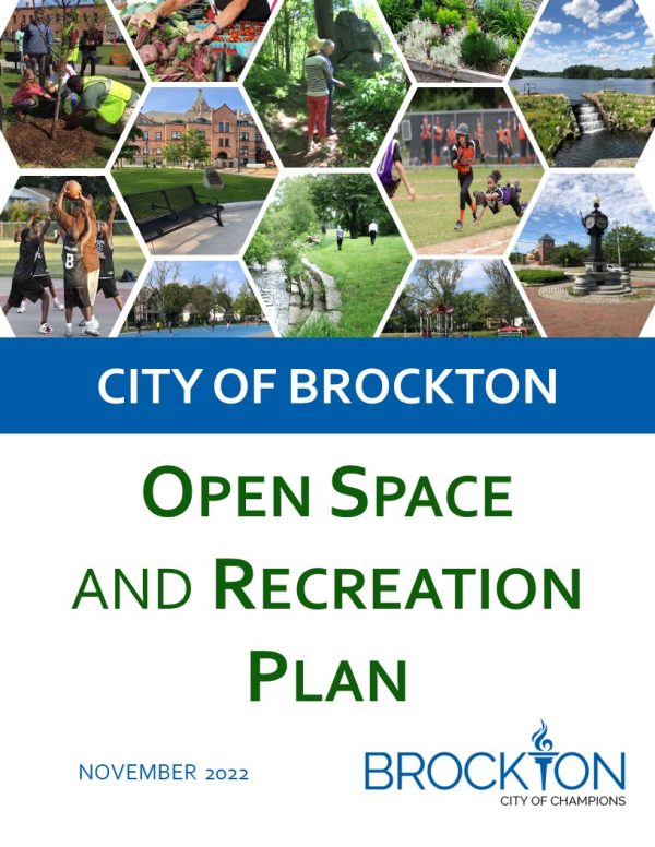 OSRP Update Draft
The City has recently completed an updated draft of its Open Space & Recreation Plan. In this update, the City reflects on recent successes and identifies goals for ongoing improvement in the areas of open space preservation, recreation, community gardening, and urban agriculture. An up-to-date OSRP also allows the City to remain eligible for PARC Grants and other important funding opportunities from the Division of Conservation Services.
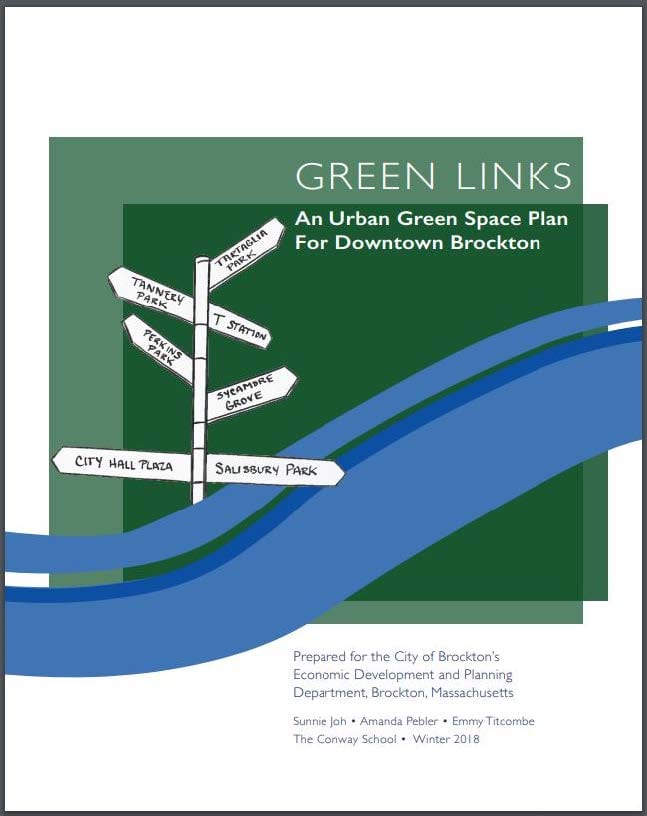
The Brockton Planning Department has identified the improvement of green spaces downtown as a priority in the midst of redevelopment and growth.
This study identifies opportunities to improve the connectivity, function, ecological health, and safety of Brockton’s downtown green spaces, while maintaining the identity that represents Brockton’s growing, diverse population.
2013 Open Space and Recreation Plan
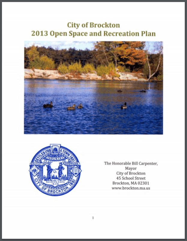
The City of Brockton produced this Plan to guide the City’s efforts to preserve its natural lands and enhance its recreational facilities and grounds. The main goals of the City are to protect its conservation land, increase open space in the downtown area, rehabilitate parks and other recreational assets, and solicit broader community participation in open space planning.
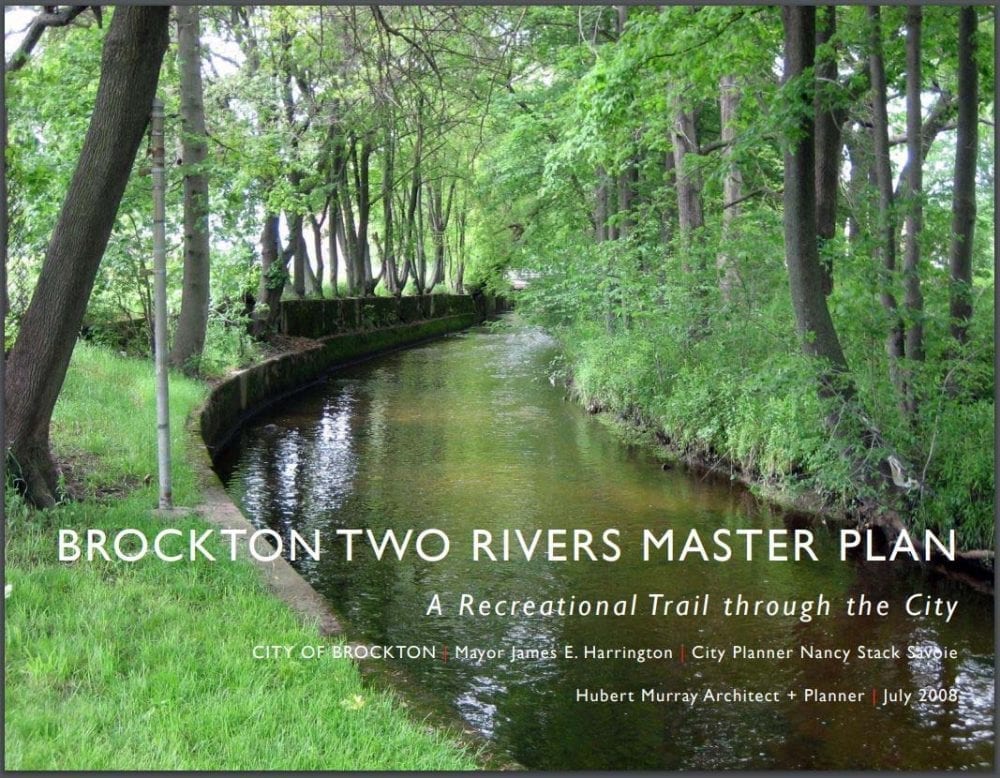
The City of Brockton developed around two major watercourses, Trout Brook and Salisbury Brook, but rarely were these brooks viewed as an urban asset.
This study explores the recreational, cultural, and environmental potential of these brooks and outlines a program to restore and enhance the urban environment through which they run.
Urban Agriculture Initiative
The Brockton Urban Agriculture Initiative aims to identify and promote the economic, health, community, and educational benefits of local and regional agricultural efforts.
With the help of the Conway School of Landscape Design, the Brockton Planning Department produced an Urban Agriculture Plan in 2017.
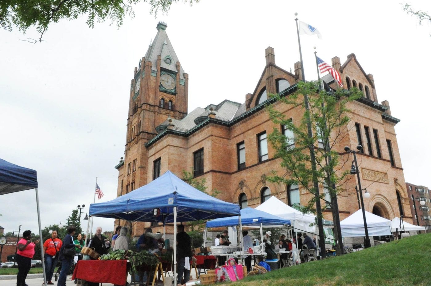
Early fruits of the Urban Agriculture Initiative can be found at the Brockton Farmers Market, held on Fridays, 10 AM - 2PM, from July through October at City Hall Plaza.
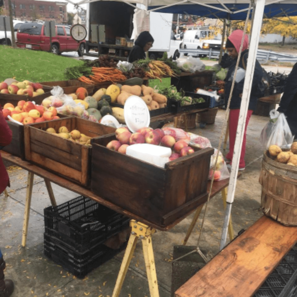
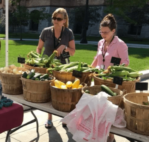
The Brockton Farmers Market offers area farmers, crafters, and artisans the opportunity to market their farm-raised plants, produce, meat, seafood, and homemade goods directly to the public.
These vendors at the Market in turn provide a source of locally grown, fresh produce for the residents of Brockton and the surrounding area.
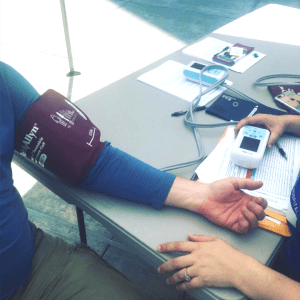
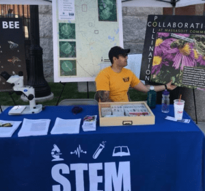
Finally, the Market promotes community-building and education efforts by featuring family-friendly entertainment, health screenings, and educational programs on health and nutrition.
MVP Action Grant
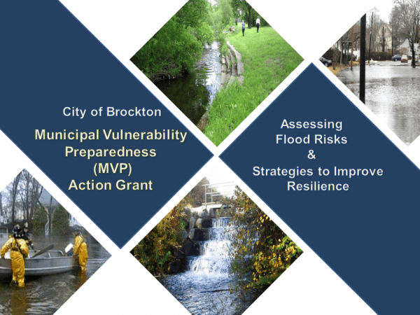
Through a Municipal Vulnerability Preparedness Program (MVP) Action Grant, the City has been working with Fuss & O’Neill to develop an accurate understanding of flooding risks in the City and identify solutions to increase flood resiliency along the City's major river systems.

